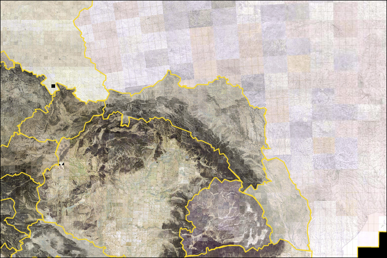
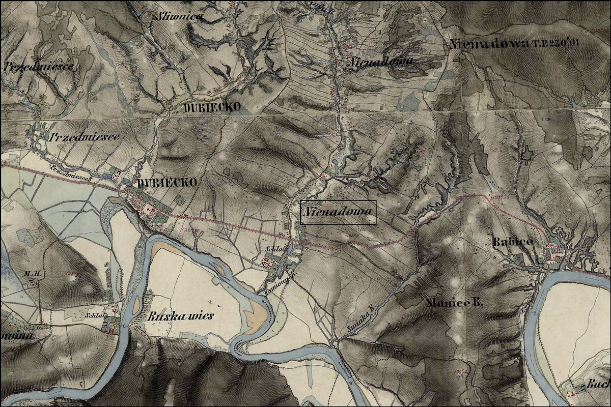
Nienadowa is represented in the three Austrian Military Surveys: the first in 1779–1783, the second in 1861–1864, and the third in 1869-1887.
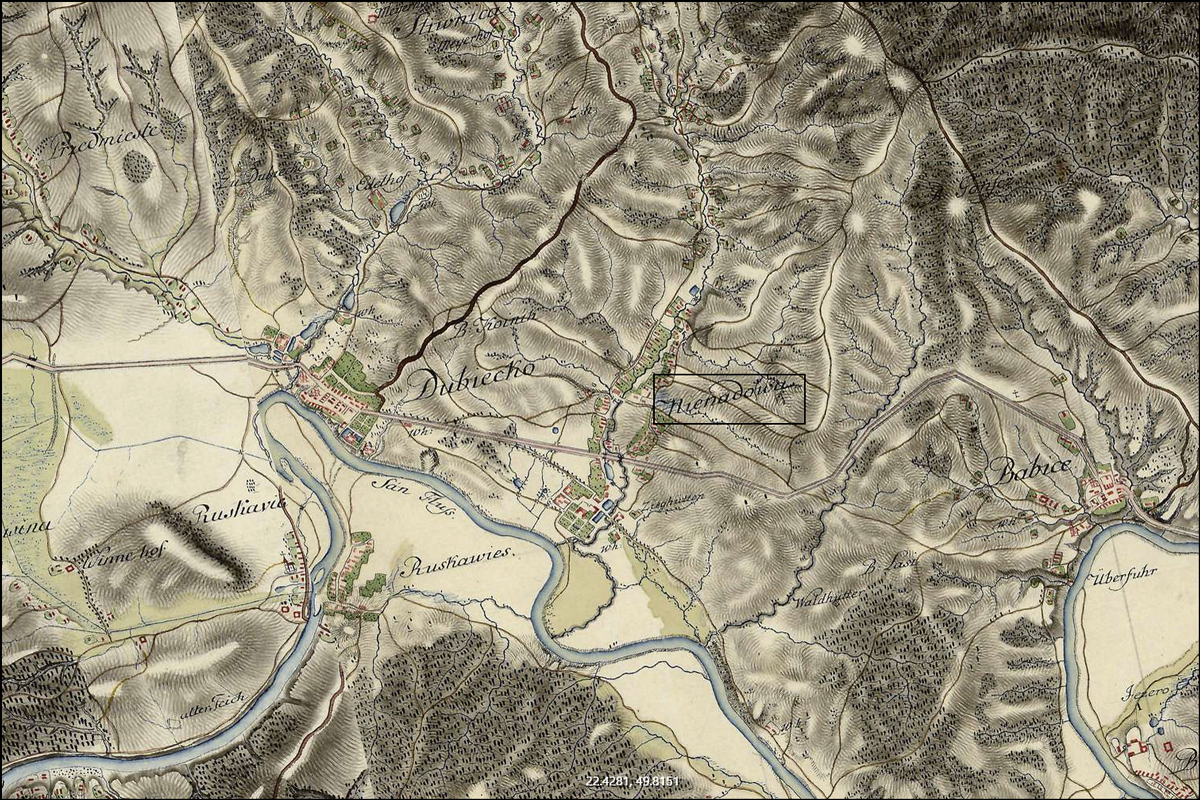
SOURCE: First Military Mapping Survey (1779-1783). Online https://mapire.eu/en/map/firstsurvey-galicia/?; downloaded 17 Oct 2020.
SOURCE: Second Military Mapping Survey (1779-1783). Online https://mapire.eu/en/map/secondsurvey-galicia/?; downloaded 17 Oct 2020.

SOURCE: Third Military Mapping Survey (1869-1887). Online https://mapire.eu/en/map/thirdsurvey25000/?; downloaded 17 Oct 2020.
Copyright © 2020 by Stephen J. Danko
Leave a Reply