A survey of the Austrian Empire, including the Kingdom of Galicia and Lodomeria, was ordered by Emperor Francis I of Austria in 1817. This survey, known as the Franciscan Cadastre or the Stabile Cadastre, continued through 1861, and includes two known versions of the Cadastral Map of Niendowa, both of which have been uploaded to the Gesher Galicia Map Room.
The first revision of these are described as “feldskizzen” or “field sketches” in black and white, identifying individual parcels in Nienadowa by house number and the name of the landholder.
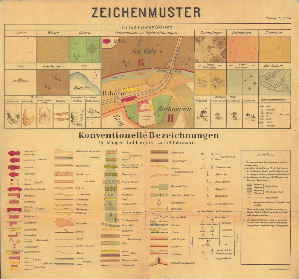
The second revision, this one in color, shows new buildings, changes in the courses of rivers and roads, but does not include the names of the landholders. In addition, the second revision replaces the house numbers with new property numbers, and uses color to identify building types and land use category (e.g. field, garden, meadow, forest, lake).

Sebastian Fischer, Inspector, Dorf Nienadowa in Galizien Przemysler Kreis 1852 (Austrian Empire, 1852); digital images, Arachiwum Państwowe w Przemyśl (http://www.skany.przemysl.ap.gov.pl/show.php?zesp=126&cd=0&ser=0&syg=1127M : accessed 05 Oct 2020).
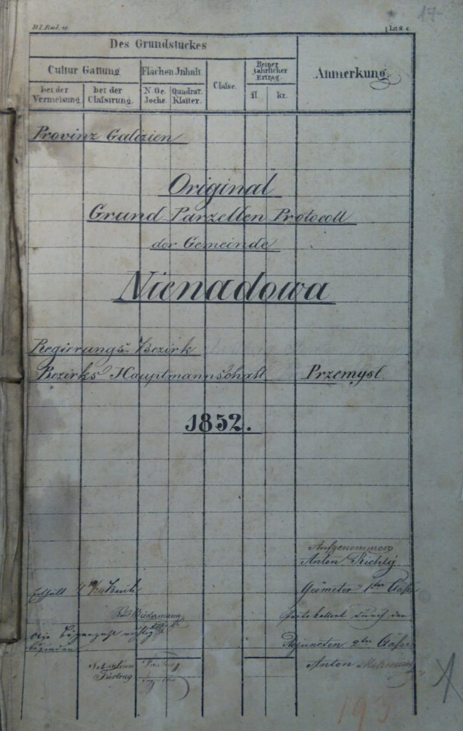
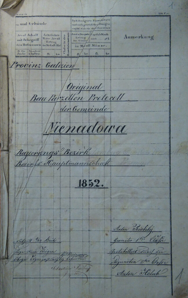
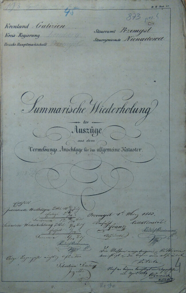
In addition to the maps, themselves, the cadastral surveys generated three written summaries, the Grundparzellen Protocoll (Field Plots Report), the Bauparzellen Protocoll (Buildings Report), and the Summarische Wiederholung (Summary and Recapitulation). Some of these written summaries are available in the Members Only area of this website. Otherwise, these documents are not yet available online.


